Open source à la carte
Article author :

Throughout the ages, cartography has always aimed to offer a simplification of the world. Since its digitalization, online map services have proliferated. But, in real terms, your itineraries are being sourced from just two protagonists: on the one hand, the big beasts of the web, and on the other, open source, which, whilst more discreet, still manages to provide maps richer in detail and updated more rapidly.
A little refresher course may well be required before plunging headlong into the article. ‘Open source? That’s when you can pick through the parameters of a programme to kind of help yourself to it, no?’ Although imprecise, the definition suggested by the most inexperienced users of information technology is not entirely inaccurate. Open source (OS) in fact consists of making the source code of a software programme or a website accessible to the general public. The freedom to use, the freedom to modify, and the freedom to distribute modifications are the three guiding principles which govern OS. It was a woman, Christine Peterson, an American forecaster and co-founder of the Foresight Institute, who suggested the expression in 1998, as a means of removing any confusion with the other anglophone terminology, ‘free software.’ And contrary to received wisdom, the initiatives available on OS are not merely restricted to the non-profit domain. According to a recent French study commissioned by the National Free Software Council, OS is today worth 6 billion Euros in France, 40 times what it was 20 years ago.
As open source is a key component in the most dynamic domains of the digital world such as artificial intelligence and Big Data, GAFAM (Google, Apple, Facebook, Amazon and Microsoft, editor’s note) are also increasingly investing in OS solutions. For their part, governments are also looking into OS in terms of ethics and sovereignty issues. And frankly, who wouldn’t be interested in software which is more often than not free-of-charge and regularly updated thanks to the involvement of a large community of programmers passionate about information technology and OS?
Mad about maps
‘On the whole, we still tend to instinctively open a Google window to find an answer to our questions, but we use open source a good deal more than we are aware of,’ smiles Thierry Jiménez, a contributor to and member of the board of directors of OpenStreetMap Belgium. Linux, the popular operating system, its mobile phone descendant Android, WordPress, the content management platform widely used for the creation of websites and blogs, and of course, the free encyclopaedia Wikipedia, which could be said to rely almost entirely on OS. And then there are other perhaps less well-known initiatives, such as OpenStreetMap (OSM for those in the inner circle). ‘A kind of alternative Google Street View, independent and open to all,’ continues Thierry Jiménez.
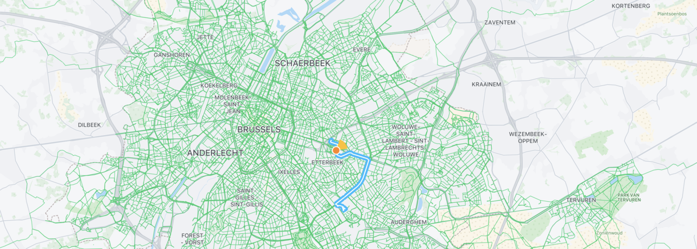
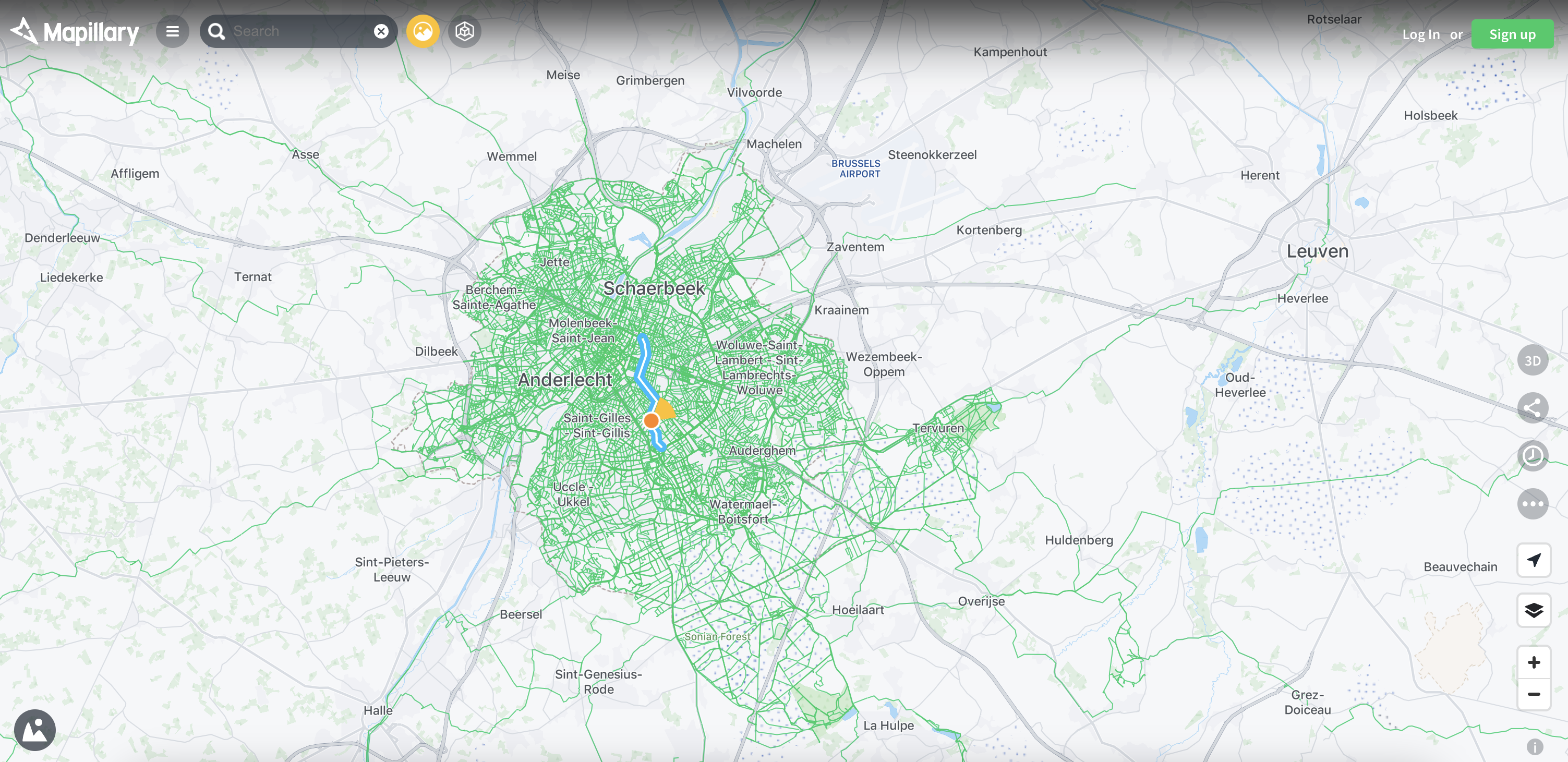
It was during a briefing evening on cycling in urban environments that the kingkong editorial team first heard OSM being mentioned. And more specifically the somewhat crazy project dreamed up by a cyclist: Stéphane De Greef, a bioengineer, perched over the handlebars of an overequipped bicycle and protected by a helmet to which was screwed his ever-present GoPro. This little camera enabled him to achieve a flight of fancy which would seem immoderately excessive to common mortals: filling the gaps of Brussels cartography for those forgotten by the Google giant. Roaming on his bike, within the space of a short month, he had charted no less than 4,500 kilometres of avenues, regional roads, cycle lanes and even forest paths invisible on Google Street View. Nothing escaped him, not even the alleys within cul-de-sacs. ‘I took around 600,000 images in 360°,’ he estimates. ‘Obviously, I spend many, many hours systematically outlining my routes, to avoid going back and forth over the same segments.’
Every Street in Brussels 🇧🇪@stefdegreef recently completed a project where he mapped all the streets of Brussels using only his bicycle, smartphone, and GoPro MAX! https://t.co/G2R4iN2t0F#OpenStreetMap #mapillary pic.twitter.com/iCgz3o00hi
— Said Turksever (@asturksever) July 29, 2023
When he was young, the boy from Boitsfort imagined one day becoming Indiana Jones. Apart from his headgear, which places him more in the category of cyclists, his passion for exploration would justifiably earn him such a title. Stéphane is in fact no stranger to maps and wide-open spaces. ‘When I finished my engineering studies at Gembloux in 2000, I spent 20 years working in the humanitarian domain, in South-East Asia, Latin America and Africa,’ He mapped mine fields in Cambodia, remote jungles in Ecuador, and he contributed to the production of maps intended to promote the rights of women, children and people with disabilities. ‘In many of the places I went to, Google had not yet paid a visit. Impossible to open Google Maps to obtain a route.’
Having little idea about computer sciences, but armed with his experience in cartography, the Belgian therefore commenced producing his own maps as his journeys progressed, and subsequently published them on Mapillary. A website which collects, processes, and enables visual data to be provided as a means of expanding the collaborative cartography of OSM. ‘Volunteers at OSM would cover the same routes afterwards to correct my data, but later on, thanks to the mutual aid offered by the community of “mappers” (the volunteers who actively contribute to updating geographical data, editor’s note), I learned to clean the maps by myself.’ In 2019, having returned to his country of birth and then finding himself confined in lockdown, Stéphane became a volunteer at the Soignes Forest Foundation. ‘The Google Map for the Soignes Forest was really limited. I contacted Google and offered to work on its improvement. They replied that my aid was welcome, but that “they didn’t have a budget”.’ The decision was made very quickly, and the cyclist then became a seasoned contributor to OSM, with the aim of creating the best available open source map of the capital.
Maps by and for everybody
Sat around a table at a café in the centre of Brussels, Thierry and Stéphane walk us through our first steps on OSM. The platform is fascinating in its simplicity and has everything you might find on Google Maps, perhaps with a design which is a touch less modern. OSM brings together 10 million contributors scattered across the world, with a hundred or so in Belgium. Several of them dedicate their hours selflessly and work on improving map data. ‘Beyond the taking of 360° images, everyone can contribute to improving the data of OSM maps,’ explains Thierry Jiménez. In around ten minutes or so, we go through the details of the establishment we are in, update the opening hours, the availability of an internet connection, and accessibility for people with reduced mobility. ‘The data belongs to the community, so everyone can participate,’ continues Stéphane De Greef. ‘Of course, volunteers endeavour to validate the data, a little like how it is done in the field of research, with peer assessment. If one person adds the presence of a chip stand in their street, someone else will try to check if there really is one.’
Who is going to take an interest in the fact that a park is accessible with a pushchair? Who is going to reference the play areas in their neighbourhood? Or take an interest in the fact that a street is illuminated or not?
Thierry Jiménez, contributor and member of the board of directors of OpenStreetMap Belgium
On a gendered note, the two mappers disclose that males predominate within the OSM community. ‘It is clearly noticeable that a standard profile emerges amongst the OSM mappers. They are often computer specialists, real geeks, but primarily men, which does in the end have an impact on the maps,’ they note. ‘Who is going to take an interest in the fact that a park is accessible with a pushchair? Who is going to reference the play areas in their neighbourhood? Or take an interest in the fact that a street is illuminated or not?’ wonders Thierry, who nevertheless points out that he has become concerned with gender equality issues since becoming a father.
That said, the use of OSM data also gives rise to very useful maps, such as the themed maps available on MapComplete, which amongst other things reference bike repair stations, urban art, and even the chip stands, but also projects which are relevant in gender terms, such as EqualStreetNames.Brussels. A map initiated by the Open Knowledge Belgium association, the feminist collective Noms Peut-Être and Equal.Brussels , which graphically reveals the invisibilisation of women in the street names of Brussels. 93% of the streets bearing the name of a person are attributed to cis males, against solely 6.65% to a cis female (only one street, a no-through road, carries the name of a transgender male).
Whilst it is impossible to gain a quantified idea of the number of OSM users, and therefore compare the scale of its use against the Google behemoth, almost all of you have already used the services of OSM maps without being aware of it. Detailing your runs on Strava, hiking with Komoot, travelling in isolated regions on Maps.me, using certain Garmin services or ordering a basket of unsold goods via Too Good To Go. Even Apple uses OSM data for certain regions in its Maps application, and TomTom has announced that it will begin doing so before the end of 2023. One might wonder how the giants of the digital world are still competing with OSM. ‘Our users have freedom, we do not follow them by means of cookies, so our maps have no commercial value for Google or Apple,’ adds Thierry. But Meta, alias Facebook, is never far away and indeed acquired the Swedish start-up Mapillary in June 2020. ‘The purchase is a matter of some debate in the OSM community. Some French contributors have even decided to retrieve all of their data, 360°photos and other materials, with the idea of placing them online on another platform called Panoramax.’ To compete with Google Maps? To use this data to improve the metaverse and create a virtual image of the entire world? Watch this space, but in the meantime, pay attention to the little notice in the bottom right-hand corner of your screen, the next time you use a map service of any type.
A story, projects or an idea to share?
Suggest your content on kingkong.


